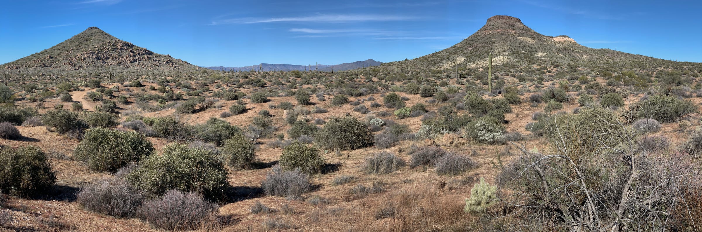
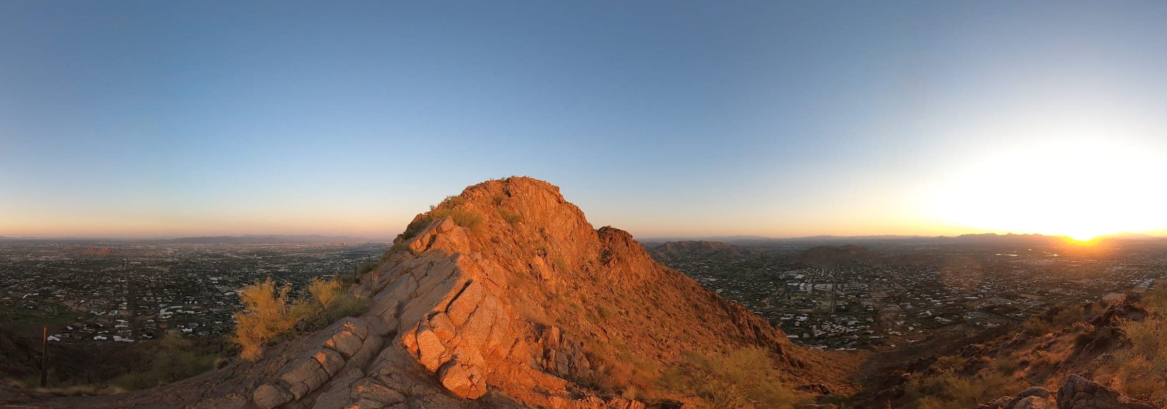
Few luxury markets can claim a backyard like Scottsdale's. Step off a shaded patio and within minutes you can be climbing a granite ridgeline, coasting through flowing desert singletrack, or watching the Valley light shift from amber to rose. The city sits at the edge of the largest urban preserve in the country, threaded with hundreds of miles of maintained trail and framed by the McDowell Mountains, Camelback, and Pinnacle Peak. For buyers drawn to Scottsdale as much for its terrain as its architecture, the trail network is part of the property.
By Yong Choi — Global Real Estate Advisor, Russ Lyon Sotheby's International Realty
The Sonoran Desert Setting
The most biologically diverse desert in North America sets the stage — and its character defines every Scottsdale trail.
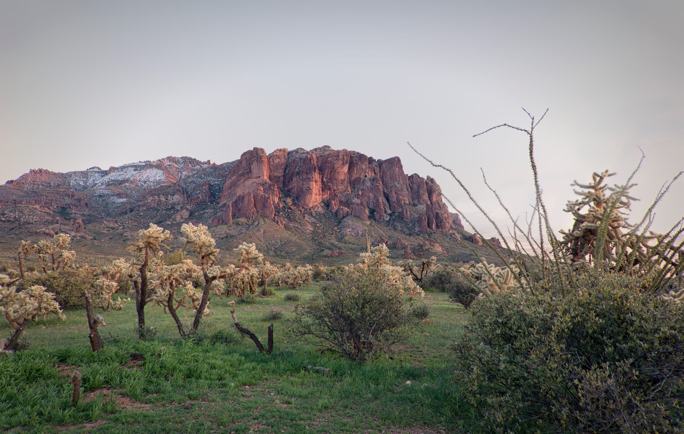
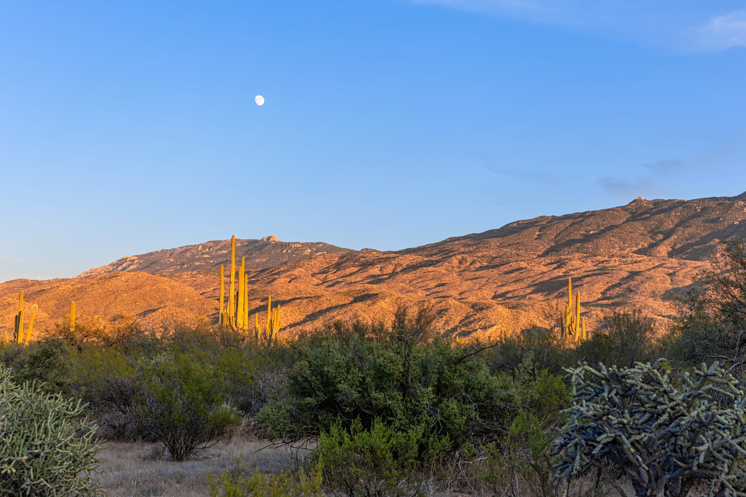
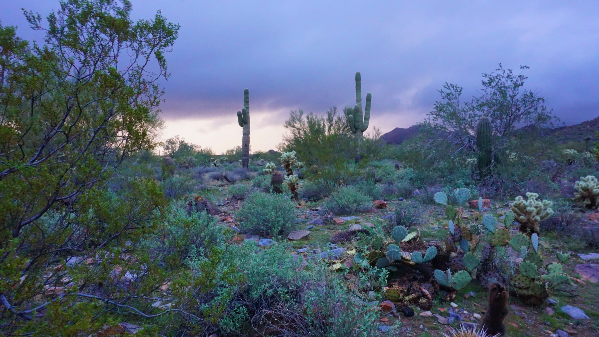
The Sonoran is the most biologically diverse desert in North America, and its personality defines the Scottsdale trail experience. Towering saguaros, palo verde, ocotillo, and cholla give the landscape a sculptural quality that changes hour to hour with the sun. In spring, brittlebush and desert marigold wash the slopes in gold, and after a rare monsoon storm the whole basin turns green.
Much of this scenery is permanently protected. The McDowell Sonoran Preserve spans more than 30,000 acres of north Scottsdale, laced with well-marked trailheads, interpretive signage, and clean facilities. Closer to the urban core, Camelback Mountain and the Phoenix Mountains Preserve deliver dramatic summit hikes minutes from the resort corridor — true wilderness character with immaculate access.
At a glance
By the numbers
The facts behind the guide.
30,000+
Acres of north Scottsdale protected as the McDowell Sonoran Preserve — the largest urban preserve in the country.
6
Signature trailheads mapped in this guide, from Tom's Thumb to Camelback's Echo Canyon.
Oct–Apr
Prime hiking season, when days are mild and the skies are reliably clear.
Signature Hikes
From Tom's Thumb to Camelback's Echo Canyon, a handful of climbs set the local benchmark.
Tom's Thumb, at the northern edge of the McDowell Sonoran Preserve, is the local benchmark. The roughly 4.4-mile out-and-back climbs more than 1,000 feet through granite boulder fields to a namesake rock formation and panoramic Valley views. It is rated hard, rewards an early start, and remains a favorite among serious hikers and rock climbers alike.
For a moderate, family-friendly option, Pinnacle Peak Trail in Pinnacle Peak Park is hard to beat. The well-graded out-and-back runs roughly 3.5 to 4 miles round trip with about 1,300 feet of gain, winding past luxury estates and offering some of the cleanest desert vistas in the city.
The Gateway Loop, from the flagship Gateway Trailhead, is a 4.4-mile circuit with a gentle 700 or so feet of gain, popular with both hikers and cyclists. For the region's marquee challenge, drive south to Camelback Mountain: the Echo Canyon Trail packs roughly 1,300 to 1,500 feet of climbing into a steep, rocky 2.4-mile out-and-back that demands scrambling and rewards with a summit view over the entire Valley. Piestewa Peak Summit Trail offers a similar test closer to town, gaining about 1,100 feet over just 2.2 miles round trip.
Signature trailheads
Six anchor trailheads, turn by turn.
Across the Sonoran preserve and the mountain parks — tap through for turn-by-turn directions to each.
Tom's Thumb
HardMcDowell Sonoran Preserve
4.4miDirectionsPinnacle Peak Trail
ModeratePinnacle Peak Park
3.5miDirectionsGateway Loop
ModerateGateway Trailhead, McDowell Sonoran Preserve
4.4miDirectionsEcho Canyon Trail
Very HardCamelback Mountain
2.4miDirectionsPiestewa Peak Summit
HardPhoenix Mountains Preserve
2.2miDirectionsPemberton Trail
ModerateMcDowell Mountain Regional Park
15.4miDirections
Mountain & Road Biking
A genuine cycling destination, with riding that suits every level — from flowing singletrack to long, quiet road climbs.
Scottsdale is a genuine cycling destination, and the riding suits every level. In the northern preserve, the trails around Brown's Ranch are the crown jewel for mountain bikers: mile after mile of smooth, flowing singletrack with gentle grades, excellent sightlines, and an interconnected layout that lets you build a loop of almost any length.
For a bigger objective, the Pemberton Trail in nearby McDowell Mountain Regional Park is a classic 15.4-mile loop of rolling desert terrain, a rite of passage for local mountain bikers. Road cyclists gravitate to the long, quiet climbs and wide bike lanes of the north Scottsdale corridors along Pima Road and out toward Cave Creek and Carefree, where early-morning rides deliver open desert and minimal traffic.
How Trails Are Rated
A rating blends distance, elevation gain, terrain, and sun exposure — and in the desert, exposure can matter as much as the numbers.
A trail's rating blends four factors: distance, elevation gain, how technical the terrain is, and sun exposure. In the Sonoran Desert, exposure and heat can matter as much as the numbers — a moderate trail at midday in July feels severe. Match the route to the least-experienced person in your group, start early, carry ample water, and never hesitate to turn back. Use the tiers below to set expectations before you head out.
| Level | Distance & Gain | Terrain | Example |
|---|---|---|---|
| Easy | Under ~2 mi · minimal gain | Well-graded, mostly level paths on stable footing with little climbing. Ideal for families, casual walkers, and a first, comfortable taste of the desert. | Bajada Nature Trail · Gateway |
| Moderate | 2–5 mi · ~300–1,000 ft gain | Steady climbing and stretches of rocky or uneven footing. Reasonable fitness, real trail shoes, and a bit more water are recommended. | Pinnacle Peak Trail · Gateway Loop |
| Hard | Sustained ~1,000–1,500 ft gain | Prolonged ascents, rocky and technical sections, and long stretches with no shade. For fit, experienced hikers who start early and pace themselves. | Tom's Thumb · Piestewa Peak |
| Very Hard | Steep · scrambling · high exposure | Relentless grades with hand-over-foot scrambling over boulders, genuine exposure, and no relief from the sun. Strong fitness and sure footing are essential; avoid in afternoon heat. | Camelback — Echo Canyon & Cholla |
Trail Etiquette & Desert Safety
The desert is spectacular but unforgiving — heat is the primary risk, and preparation is everything.
The desert is spectacular but unforgiving, and heat is the primary risk. From roughly May through September, plan to be off the trail before mid-morning; summit hikes like Camelback and Piestewa are best avoided altogether during afternoon heat. The prime season runs October through April, when days are mild and skies are reliably clear.
Carry more water than you think you need — generally about a liter for every hour of activity — and pair it with electrolytes, sun protection, and a charged phone. Wear real trail footwear, tell someone your route, and turn back early rather than pushing into the heat. Watch for rattlesnakes in the warmer months and keep dogs leashed where permitted.
Good trail manners keep the preserve pristine. Stay on designated paths to protect fragile desert soils, pack out everything you bring, and yield thoughtfully: hikers and cyclists yield to horses, and cyclists yield to hikers.
Reference
Desert Safety & Trail Conditions
Desert hiking carries real risk. Summer heat can be dangerous, water is scarce, and trail hours, ratings, and access change with the season — Camelback and Piestewa are best avoided in afternoon heat, and closures do happen. Carry more water than you think you need, tell someone your route, check current conditions with the managing park or preserve, and turn back early. Conditions and access change — verify before you go.